Platteklip Gorge is the most popular hiking route to the top of Table Mountain as it is the most obvious and clear way up, with a path that is reasonably easy to follow. While a professional Mountain Guide will add value to any route, provided that other safety rules are followed, it is the one route that hikers can do without a guide or someone who knows their way around the Mountain. At the top of the Gorge the path leads to the Upper Cable Station on the Western side and Maclears Beacon on the Eastern side. Make sure you have a good map, many hikers on the Mountain will give you advice, but there is no way of knowing if they have any knowledge, many people have made mistakes and all the normal safety rules should be obeyed.
- Do not hike alone and make sure you know and understand the route before you start.
- Let someone know where you are going, what your route is.
- Let someone know when you expect to finish and check in when you have finished.
- Take enough water (2 litres on a hot day) – 1 x 500 ml bottle is NOT ENOUGH.
- Take a warm top even if it is hot
- Take rain gear if there is the slightest chance of rain.
- Check the weather forecast – it is very easy to get disorientated in cloud or mist.
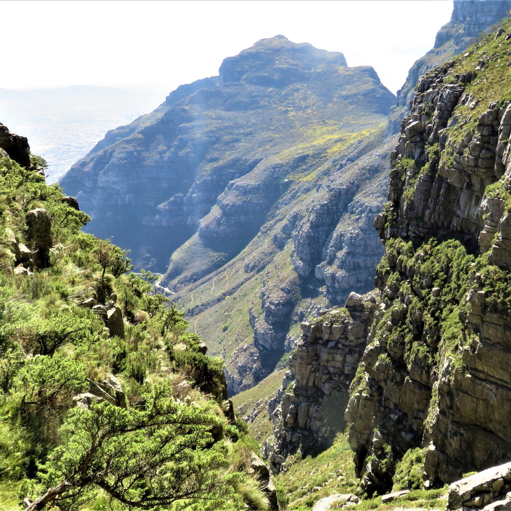
Although the path is clear, the climb is steep – a climb of just less than 700 metres (2300 ft), from the start, on Tafelberg Rd. to the cairn at the top, over a distance of less than 2 km. The route is also not all easy going, with some rough and rocky sections. Reasonable fitness is required and good walking shoes or boots are essential. Take plenty of water, sun block and a hat.
The temperature is often a few degrees colder at the top, so take a warm jacket in a day pack, together with your water and a few energy snacks for the route. Don’t go in wet weather unless with an experienced group or a guide who knows the mountain – even clear paths can be dangerous in these conditions. Never go alone.
If you are not sure, arrange for a mountain guide to accompany you. A guide can also add interest to your walk: history, people, stories, geological features, local flora and much, much more.
Timing: It takes an averagely fit hiker about two hours from the start on Tafelberg Rd., to reach the top of the Gorge, with a further ten minutes to the Cableway. Allow 45 minutes to enjoy the views and environment of the cable station and if you are using the cableway to descend, allow time for the queue to the gondola. In peak times there can be a waiting queue of up to 2 hours. In the event of the cableway not running, the walk down is approximately 1½ hours – check this before you start. The strength and direction of the wind affects the cableway operation.
Distance: Approximately 2km with steep ascents. Grading: 1Db